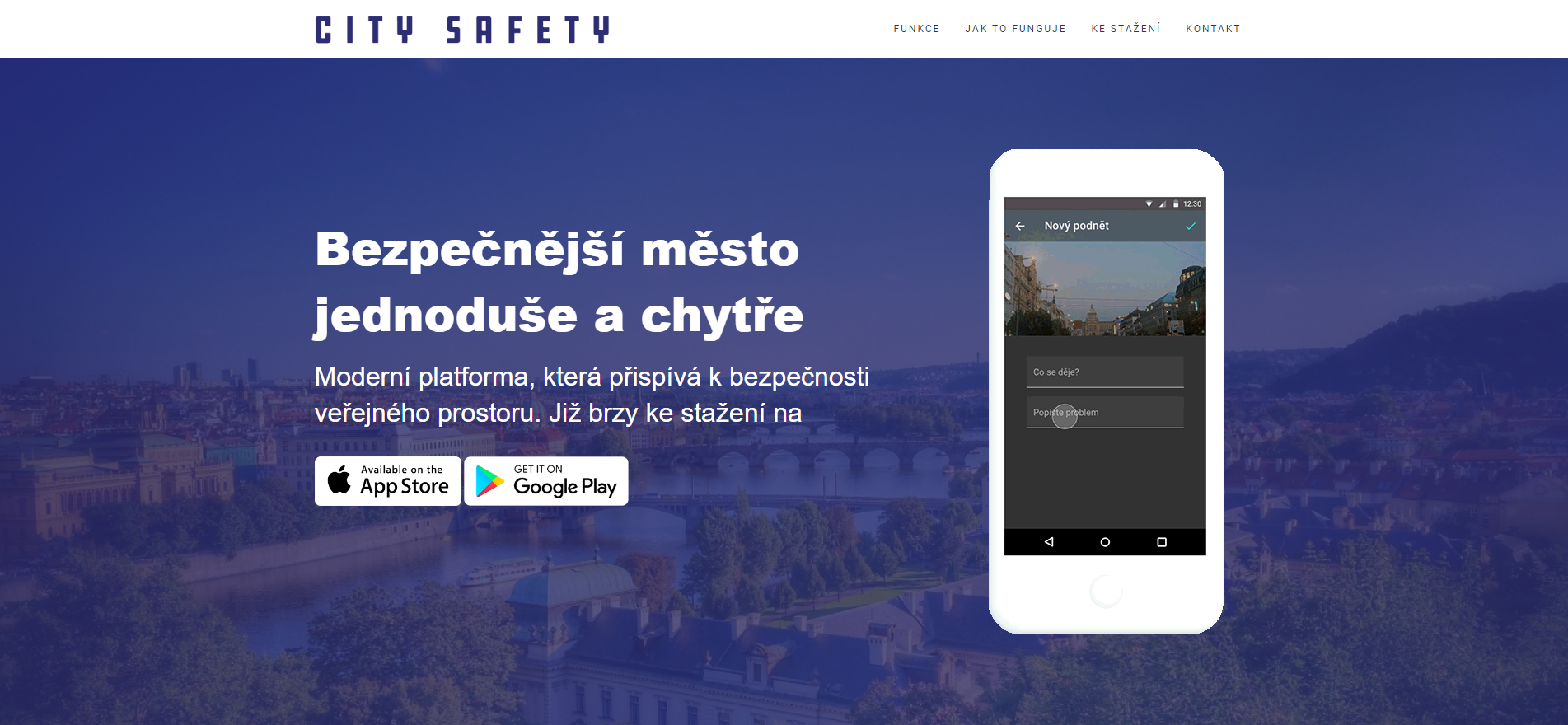
A modern platform that contributes to the security of public space.
- real-time data collection and their anonymized interpretation
- notification of the current risk and safety situation
- evaluation of risk areas and their security level
The main objective of the project is to test the feasibility of two concepts:
(1) Streamlining the spatial planning process through the online involvement of the general public in the identification of values and problems of the territory to be addressed in the territorial development plans and in the discussion of the solutions proposed therein. The project includes the development of a software tool to enable this.
(2)Evaluation of urban areas at risk and support for the activities of the integrated rescue system through an application using advanced spatial analysis tools.
The aim of the project is to develop an application based on Big Data processing and research within the PowerHUB in the field of spatial planning and security. The project includes the validation of research results and the transfer of technology and knowledge into the everyday practice of local government within Prague and the lives of its citizens. The technology brings solutions in the field of streamlining spatial planning and assessing urban risk areas, including crime prevention.
The project is financially supported by the European Union through the European Structural and Investment Funds under the OP Prague – Growth Pole of the Czech Republic.


